
Virtual Walkthrough
REVIEW THE PROPERTY, NOT JUST THE PHOTOS.
Every Plnar project with a 3D model output includes a walkthrough you can navigate remotely in the Plnar portal. Move through the space, revisit imagery and measurements, and understand every detail in its surrounding property context.
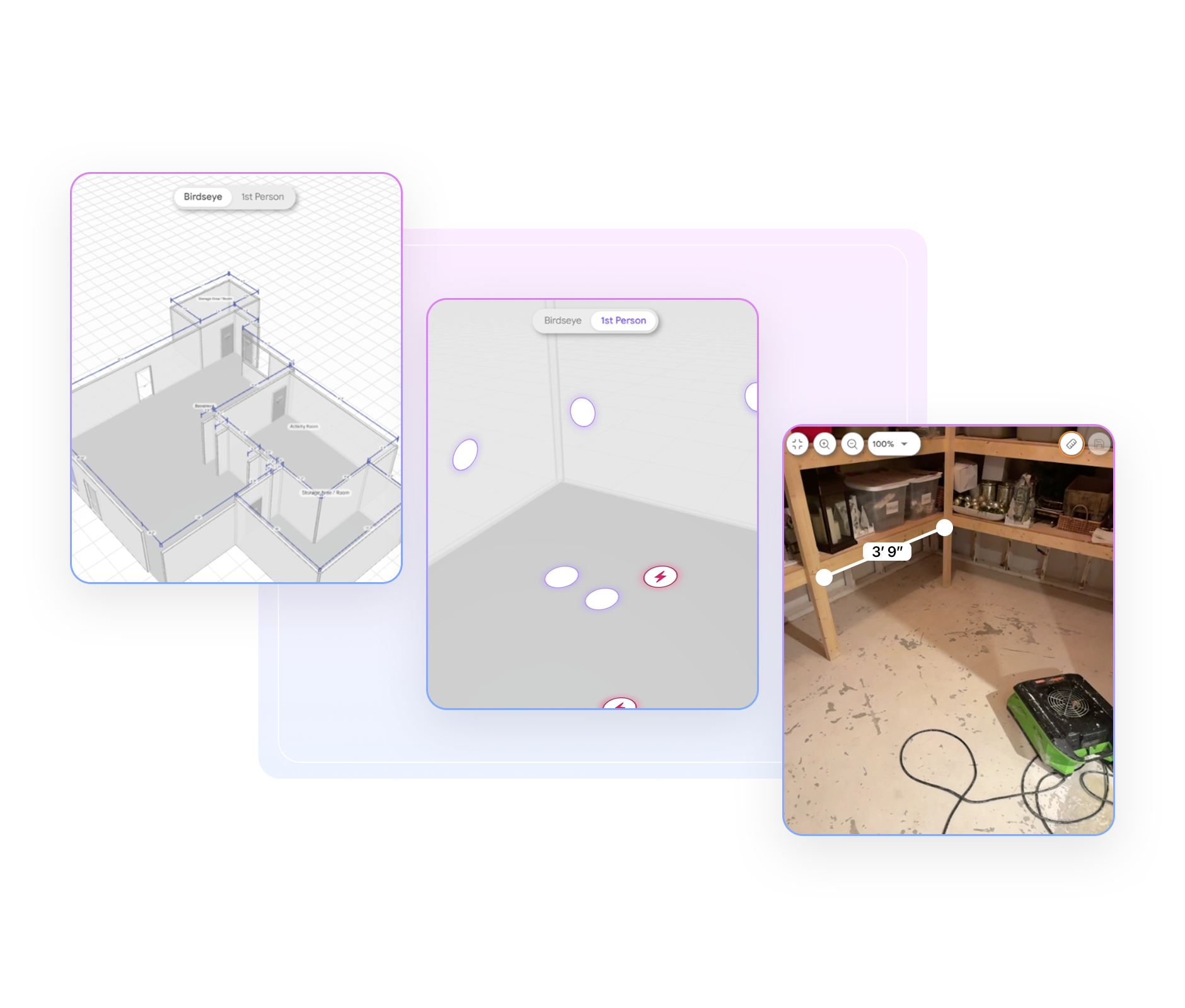
Navigate the Property. Understand Every Detail.
Plnar Virtual Walkthrough transforms the captured property into an immersive experience you can navigate remotely. Move between Birdseye and 1st Person views, build an understanding of the space without having been onsite, and connect visual evidence to where it was captured, bringing the property together in one consistent review experience.
Explore the property remotely, with complete spatial context
See evidence connected to where it was captured, for a clearer view of the property
Explore More of What Was Captured
Navigate with a live floorplan minimap that shows exactly where you are in the property
Open photo hotspots to revisit the property as it was documented at that location
Take additional measurements or validate captured dimensions directly from measure-ready imagery
Explore property context from desktop, tablet, or phone without the need for extra hardware
Connect captured property data to Xactimate and Cotality Estimate
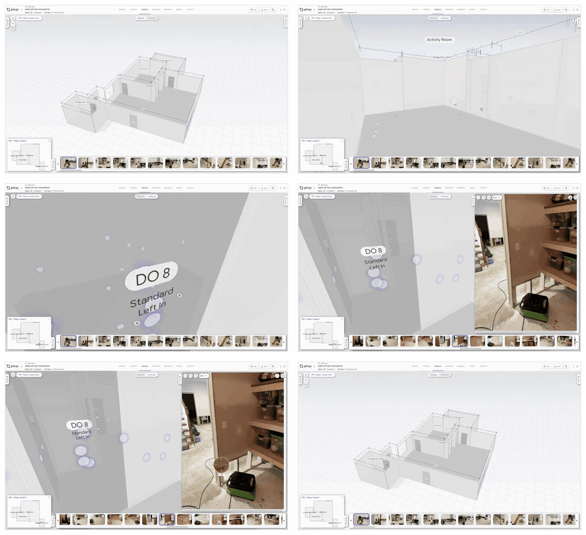

Follow the Property as the Loss Evolves
Plnar Virtual Walkthrough extends property context beyond the initial capture by connecting progress imagery back to the relevant rooms and areas. See how conditions change, what becomes visible during mitigation, and how the documented scope develops through the job.
Review pre-mitigation, progress, and post-mitigation conditions in context
Add clearer visual support for scope changes and supplements
Turn Captured Data Into an Interactive Property Experience
Plnar’s Virtual Walkthrough brings every captured detail into one interactive property experience, supporting clearer review, easier validation, and a more consistent understanding across the claim.

Understand the Space in Context
Move beyond individual images to understand rooms, damage areas and captured details in relation to the surrounding property.

Revisit Captured Details
Return to imagery and property information whenever additional context is needed without relying solely on the original site visit.

Validate Measurements
Use measure-ready imagery to confirm captured dimensions or take additional point-to-point measurements when needed.

Navigate Without Losing Context
Use the live minimap to stay oriented as you move through rooms or jump directly to another location in the property.

Create a Shared Understanding
Standardize how the property is documented and reviewed so everyone across the team works from the same understanding of the loss.

Keep Property Data Connected
Carry captured property information into Xactimate and Cotality Estimate workflows without separating review from the wider claims process.
See the Context Behind the Claim.
Bring greater clarity to property review with an interactive view of the space, imagery and captured details behind the claim.